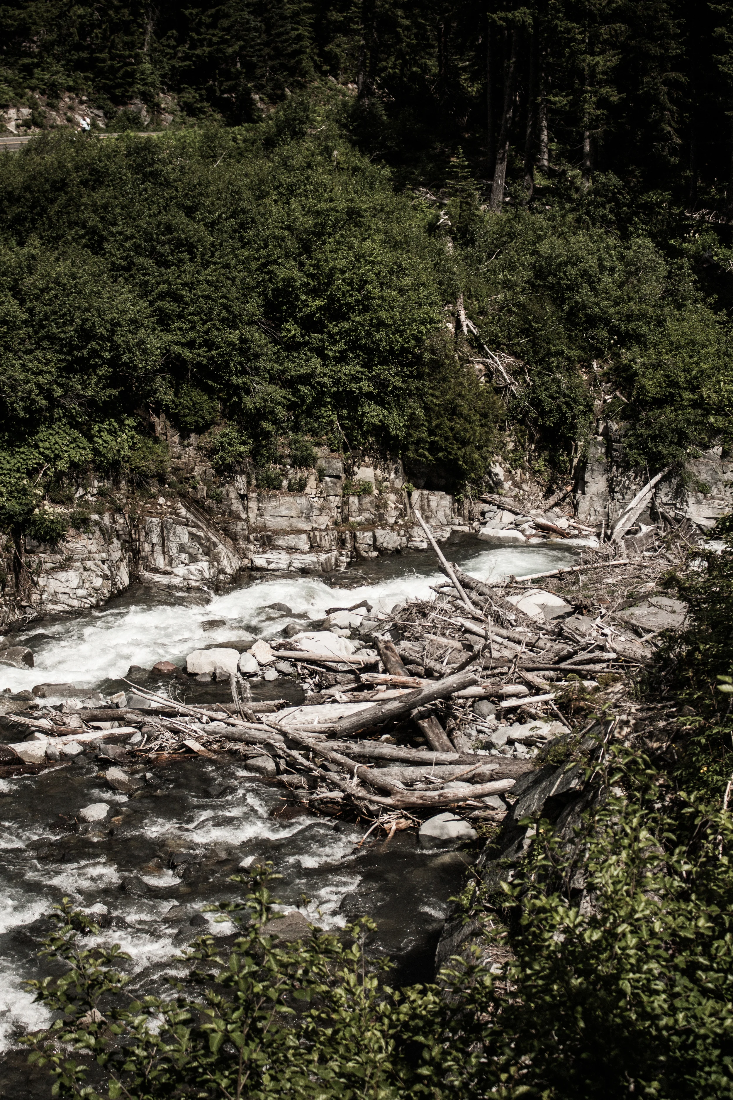
Mount Rainier was first known by the Native Americans as Talol, or Tacoma or Tahoma, from the Lushootseed word [təqʷúʔbəʔ] ("mother of waters") spoken by the Puyallup. Another interpretation is that "Tacoma" means "larger than Mount Baker".[9] This comes from the Skagit "Ta", larger, plus "Koma (Kulshan)", Mount Baker.[10] Other names originally used include Tahoma, Tacobeh, and Pooskaus.[11] The current name was given by George Vancouver, who named it in honor of his friend, Rear Admiral Peter Rainier.[12] The map of Lewis and Clark expedition of 1804-1806 refers to it as "Mt. Regniere".
Mount Rainier was first known by the Native Americans as Talol, or Tacoma or Tahoma, from the Lushootseed word [təqʷúʔbəʔ] ("mother of waters") spoken by the Puyallup. Another interpretation is that "Tacoma" means "larger than Mount Baker".[9] This comes from the Skagit "Ta", larger, plus "Koma (Kulshan)", Mount Baker.[10] Other names originally used include Tahoma, Tacobeh, and Pooskaus.[11] The current name was given by George Vancouver, who named it in honor of his friend, Rear Admiral Peter Rainier.[12] The map of Lewis and Clark expedition of 1804-1806 refers to it as "Mt. Regniere".
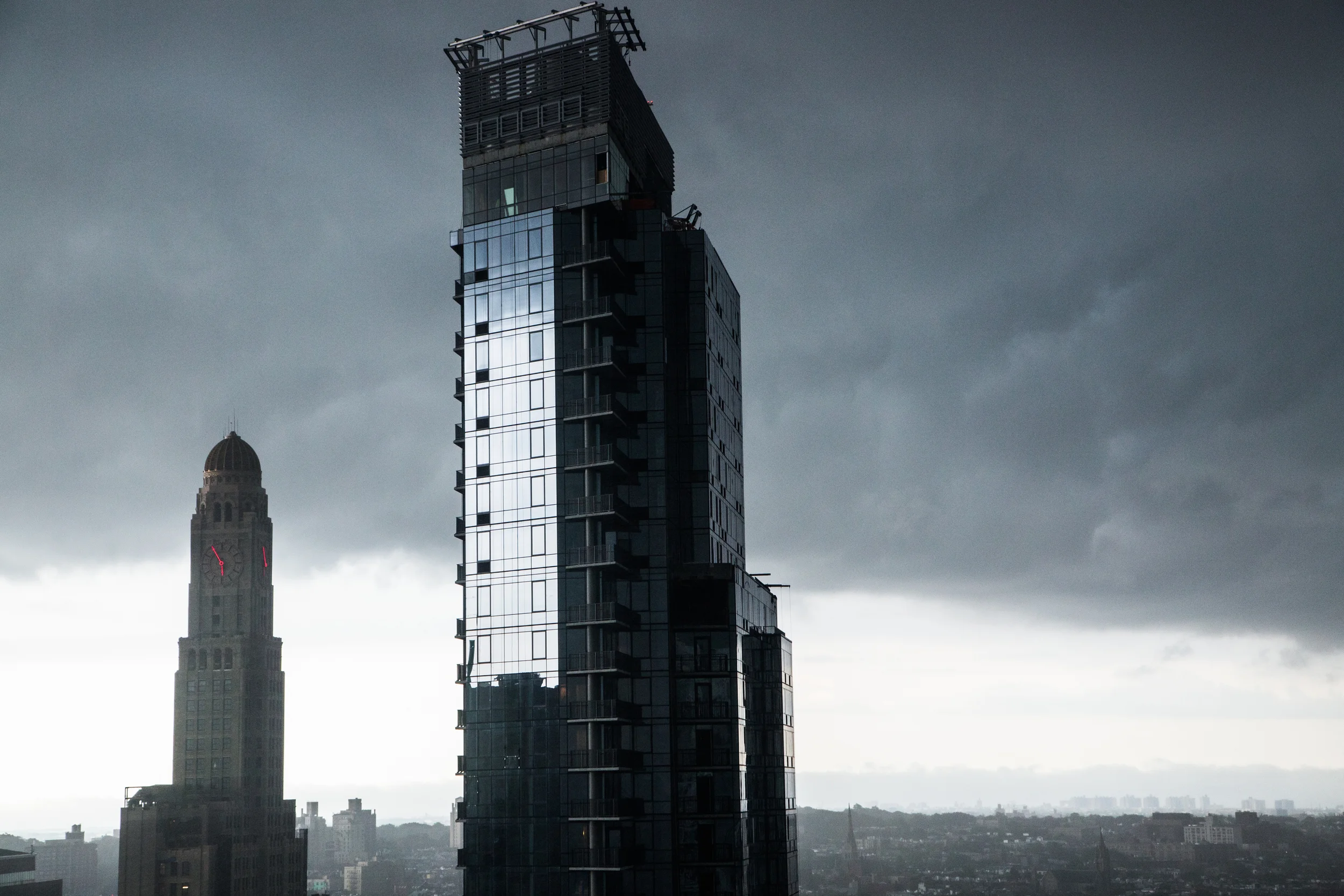
Brooklyn /ˈbrʊklɨn/ is the most populous of New York City's five boroughs, with about 2.6 million people.[1] It is geographically adjacent to the borough of Queens at the western end of Long Island. Since 1896, Brooklyn has had the same boundaries as Kings County, which is the most populous county in New York and the second-most densely populated county in the United States, after New York County (Manhattan).[2] With a land area of 71 square miles (180 km2) and water area of 26 square miles (67 km2), Kings County is the fourth-smallest county in New York State by land area and third-smallest by total area, though it is the second-largest among New York City's boroughs.[3] Today, if it were an independent city, Brooklyn would rank as the fourth most populous city in the U.S., behind only the other boroughs of New York City combined, Los Angeles, and Chicago.
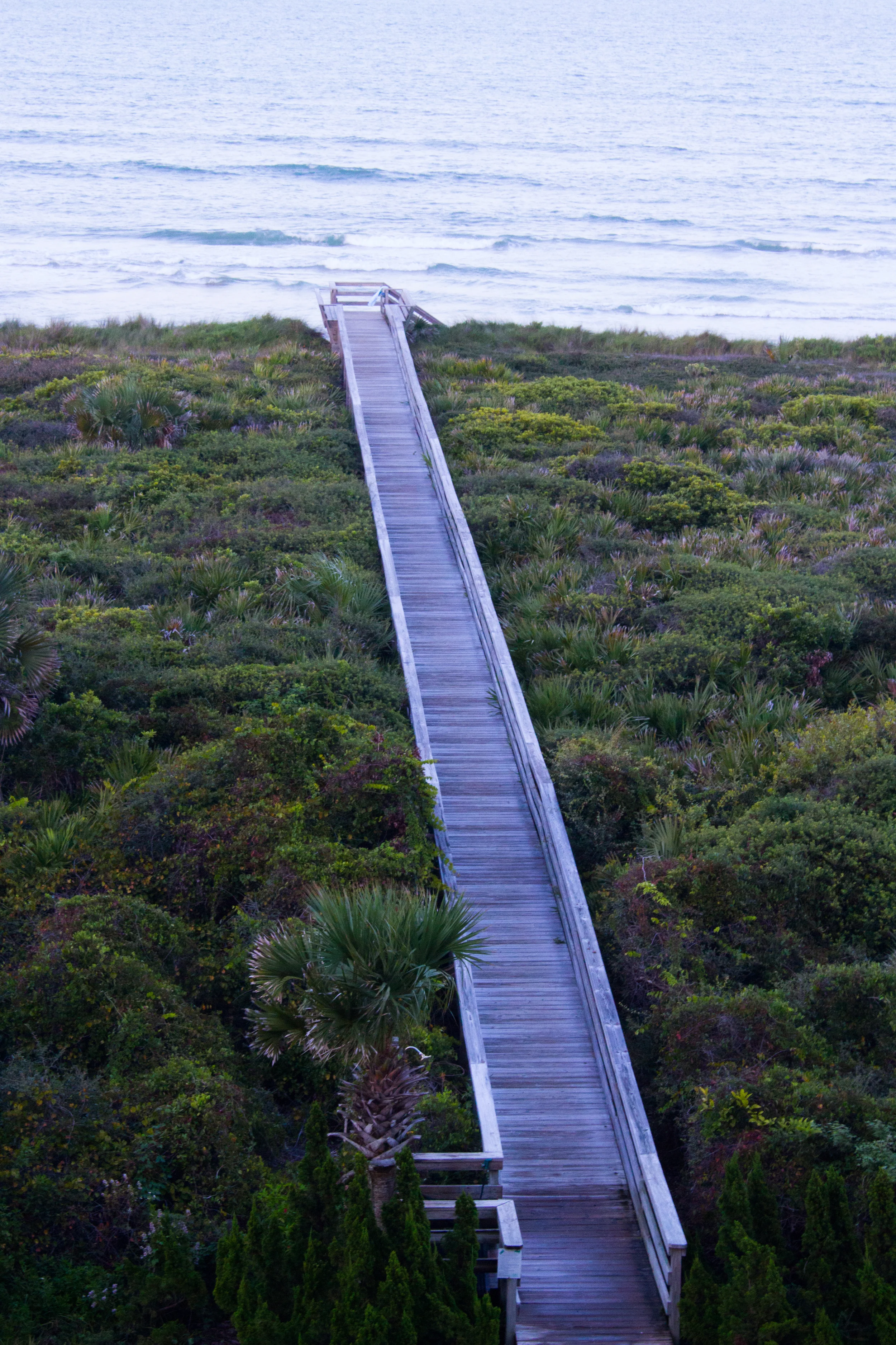
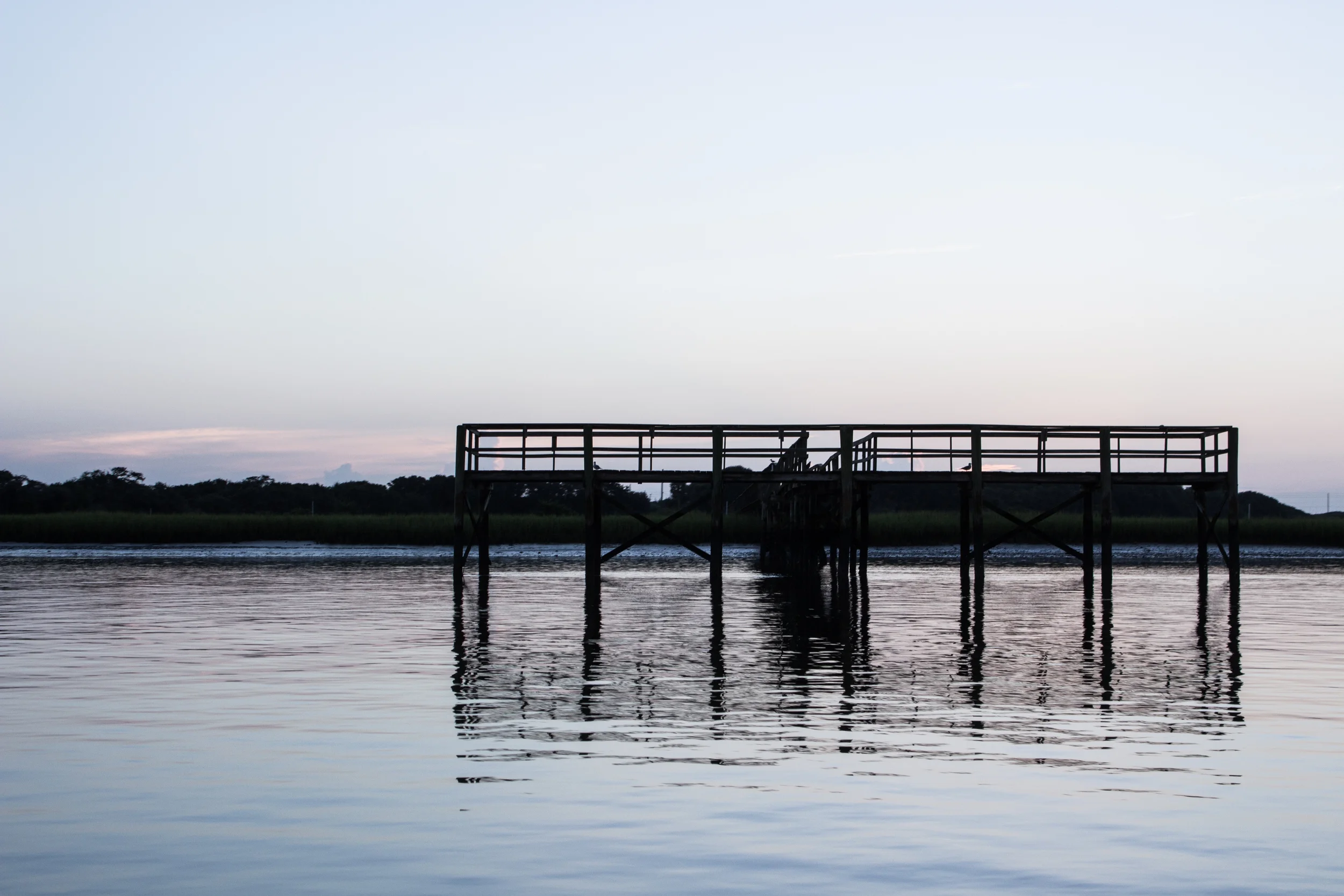
Montauk /ˈmɒntɔːk/ is a census-designated place (CDP) that roughly corresponds to the hamlet with the same name located in the town of East Hampton in Suffolk County, New York, on the eastern end of the South Shore of Long Island. As of the 2010 United States Census, the CDP population was 3,326.[1]
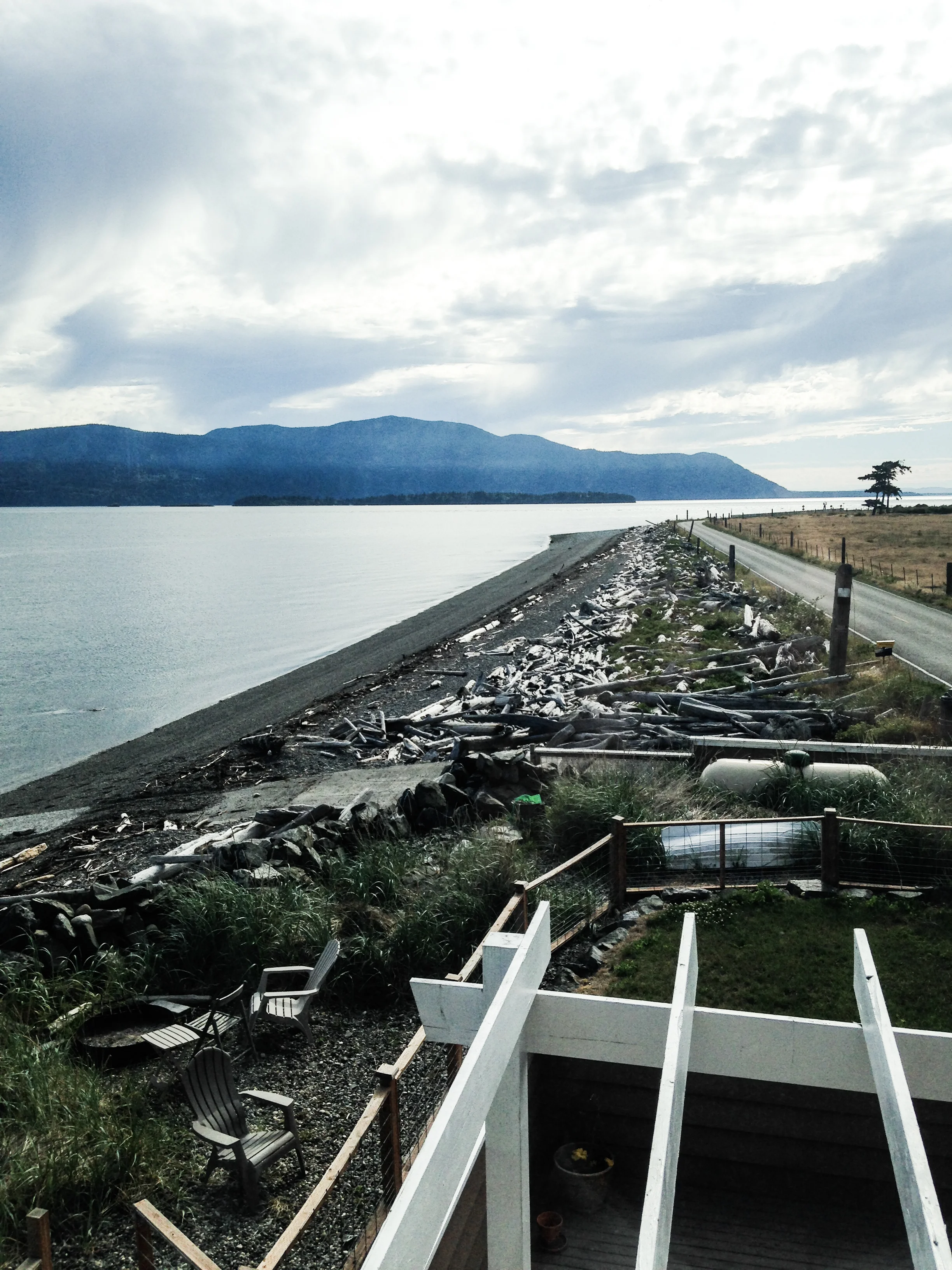
Located at the tip of the South Fork peninsula of Long Island, Montauk has been used as an Army, Navy, Coast Guard and Air Force base. The Montauk Point Light was the first lighthouse in New York state and is the fourth oldest active lighthouse in the United States.
Montauk is a major tourist destination and has six state parks. It is particularly famous for its fishing, claiming to have more world saltwater fishing records than any other port in the world.[2] Located 20 miles (32 km) off the Connecticut coast, it is home to the largest commercial and recreational fishing fleet in New York state.[3]